Smarter Mountain Adventures
Intelligent trail planning and progress tracking with intersection guidance.
Make informed decisions on your next big day out.
Intelligent trail planning and progress tracking with intersection guidance.
Make informed decisions on your next big day out.
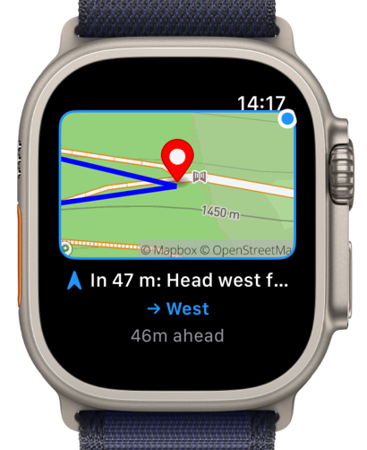
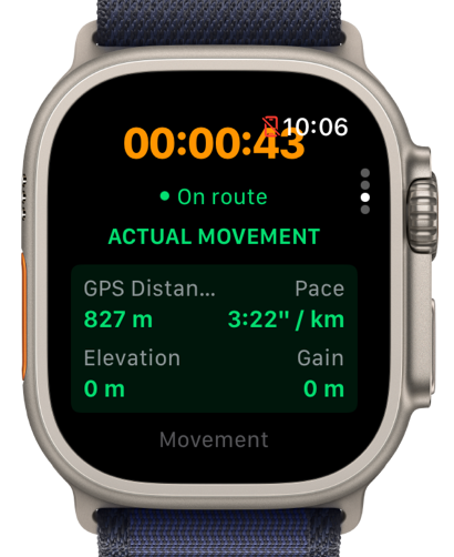
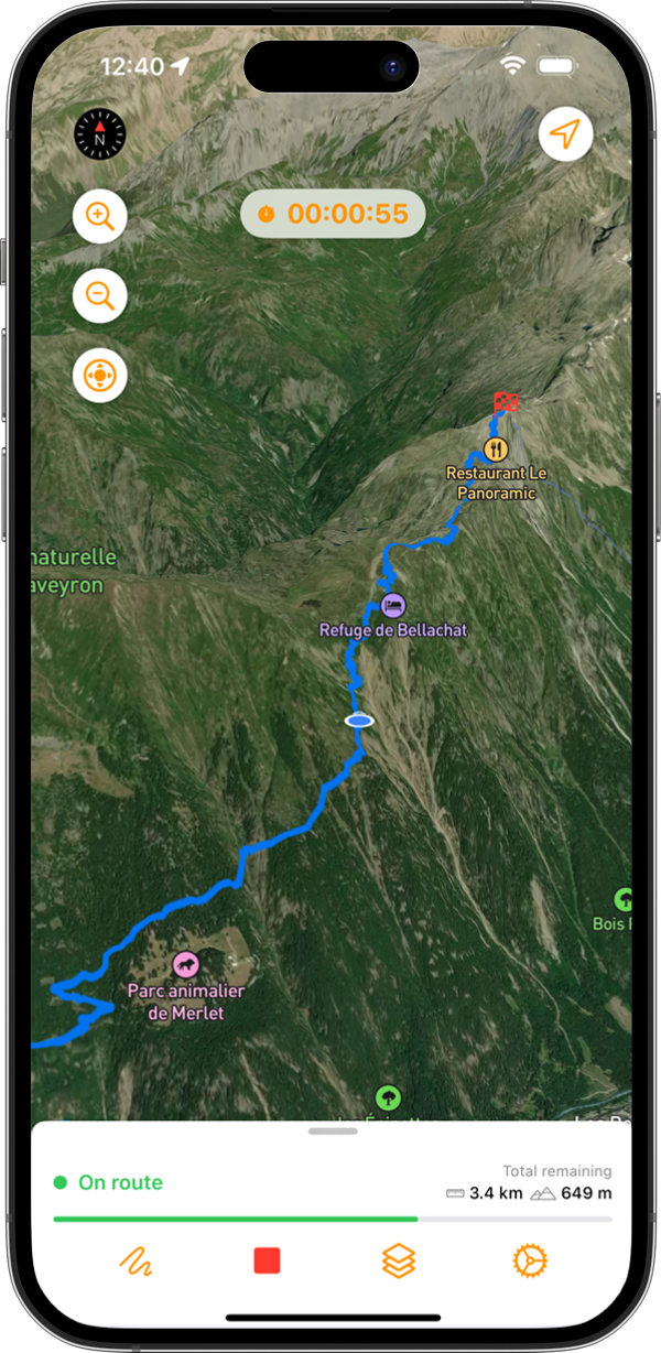
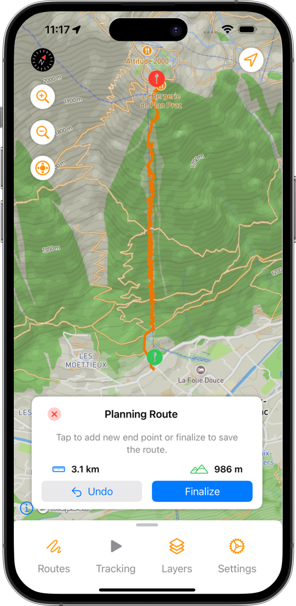
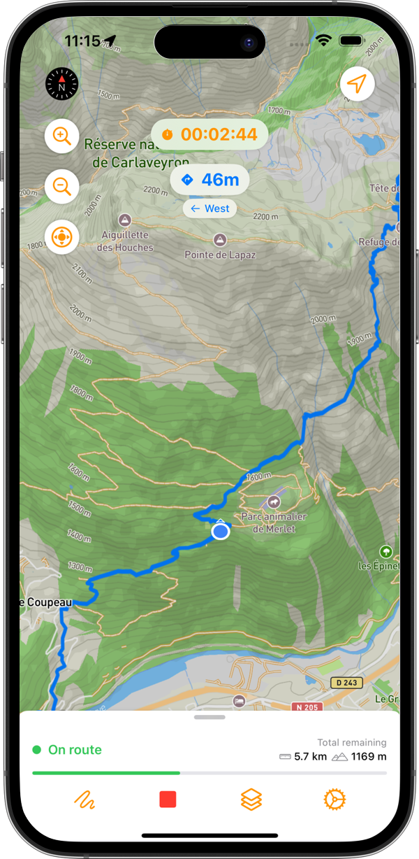
Turn any GPX into a smart trail and use intersection guidance on your Apple Watch.
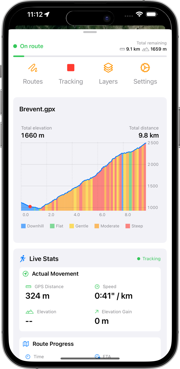
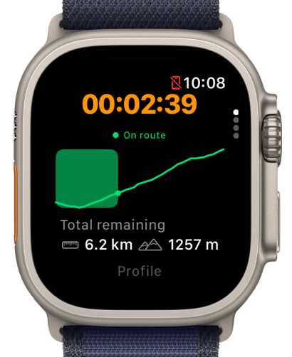
Plan your next trail adventure based on distance and elevation gain.
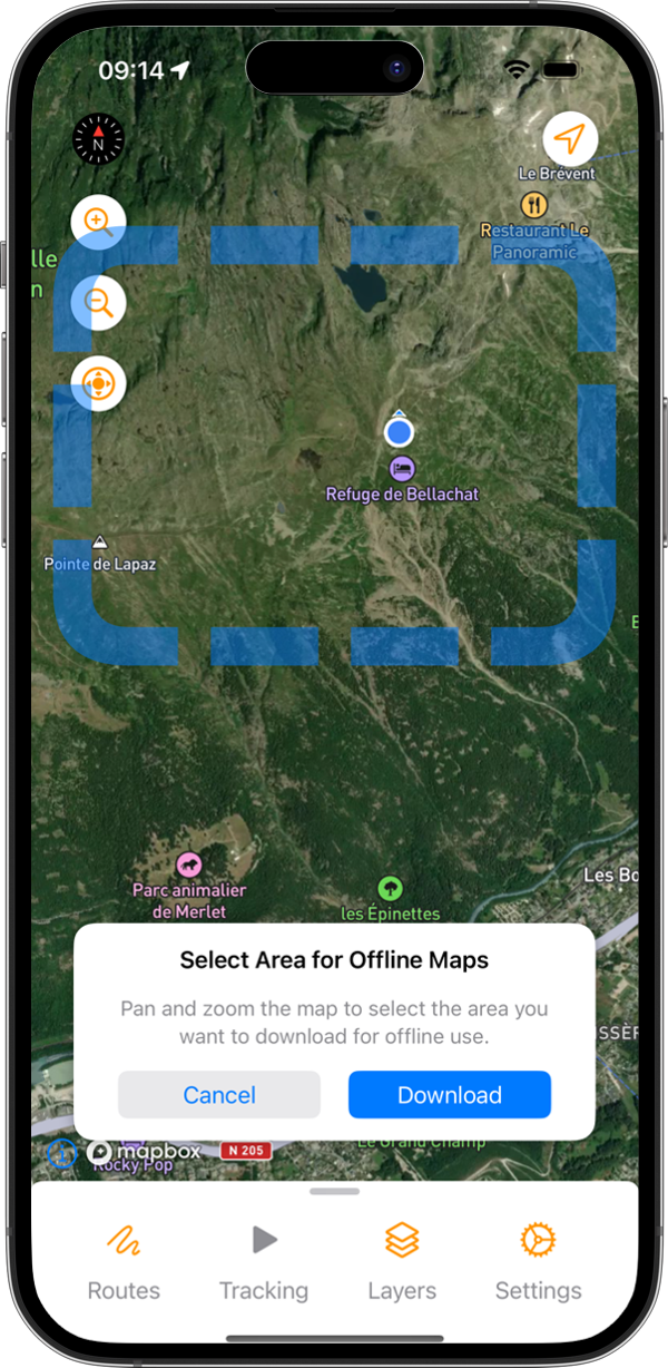
Download maps for offline use with full location tracking and trail intelligence.
No ads, no personal data collection, no account required.
Just the tools you need to make informed decisions on your next big day out.